
aerial photography
aerial photography
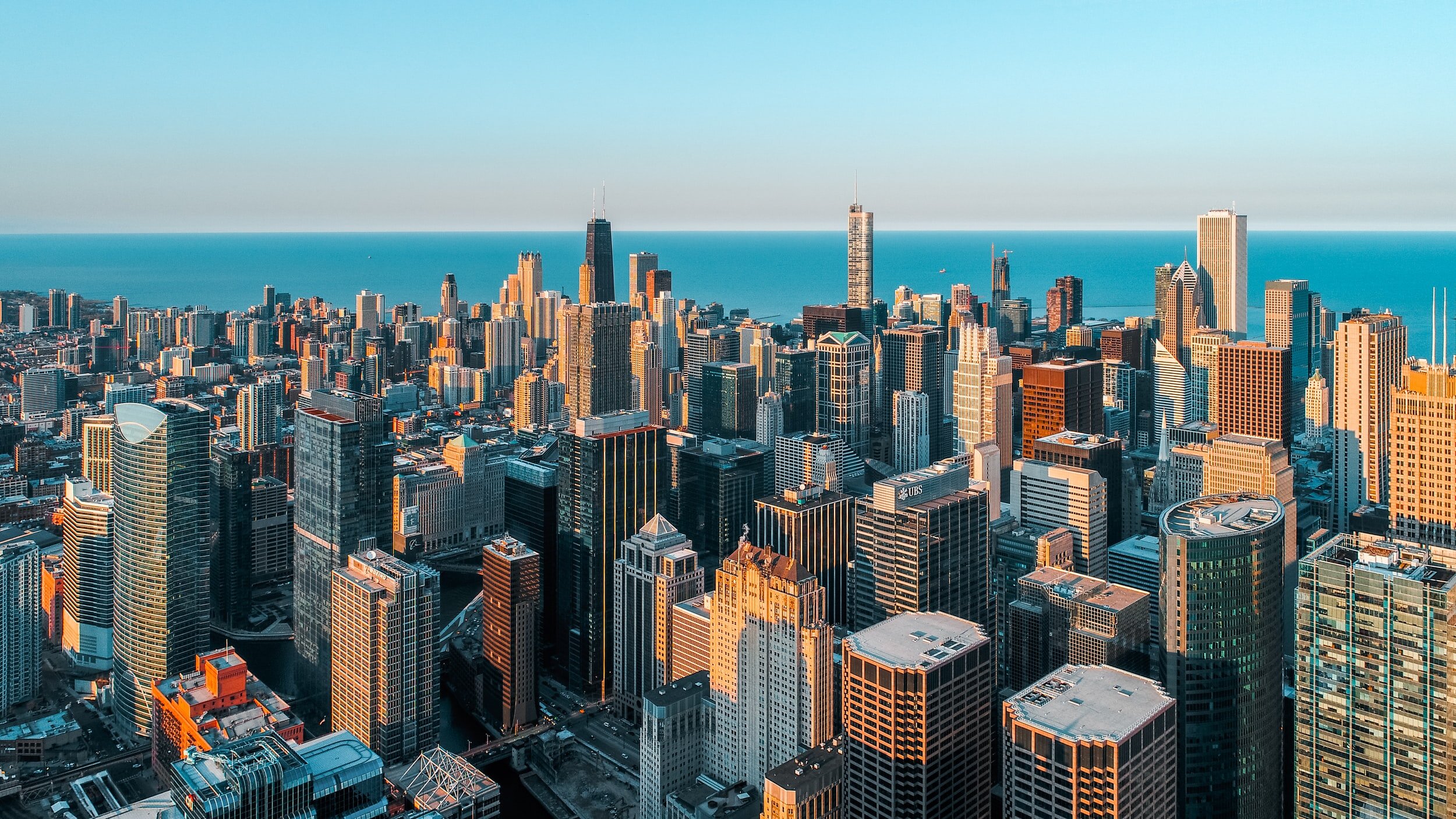
ARA provides aerial photography services as a fast and effective method of recording images and topographic information on all terrains. Drones are used to record information from an aerial perspective as a safer and more versatile technique of gathering data for analysis. From these aerial scans, models can be produced in addition to photographic images. Our lab encompasses multiple RC drones, operated by certified engineers, with high-resolution photography and video capability that can be used to record an accident scene and map an area with accurate measurement.


aerial photography services include:
High-quality aerial images
Aerial photography, measurement, digital mapping captured via drone
Accurately maps difficult terrain at speeds much greater than that of conventional surveying